
Andringitra National Park lies in southeastern Madagascar across the regions of Haute Matsiatra and Ihorombe, protecting about 31,160 hectares of mountains, valleys, forests, and high-altitude grasslands. The park is part of the Andringitra Massif, where granite ridges and steep cliffs rise above deep valleys. Its elevation creates several distinct environments, ranging from humid forest to exposed mountain vegetation. The park is also part of the UNESCO-listed Rainforests of the Atsinanana, reflecting the importance of its ecosystems and high level of endemic species. Its rugged terrain makes Andringitra one of Madagascar’s principal mountain landscapes.
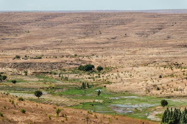
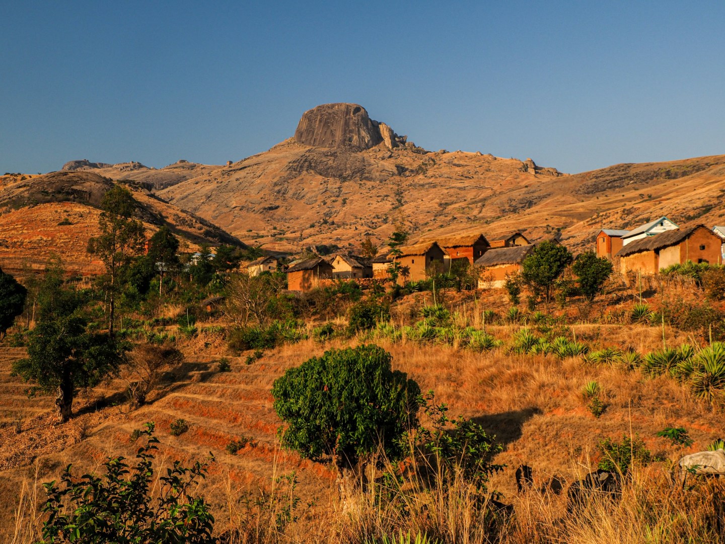
The communities around Andringitra include Betsileo and Bara people, whose agricultural and pastoral traditions are closely connected with the mountain environment. Betsileo communities are known for carefully constructed rice terraces and irrigation systems around the northern foothills, while Bara communities have traditionally practiced cattle keeping and farming in the surrounding savanna. Several waterfalls, forests, peaks, and other natural features hold cultural significance within local traditions. This relationship between communities and the landscape is an important part of the area's identity, linking conservation with long-established patterns of farming, livestock keeping, and use of mountain resources.
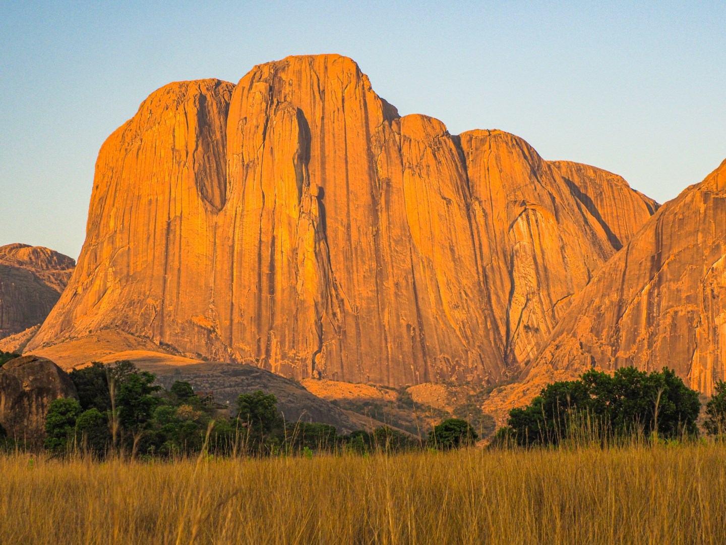
Pic Boby, also known as Imarivolanitra, rises to 2,658 meters and is the park's best-known summit and Madagascar's second-highest peak. Hiking routes pass through highland grasslands, granite formations, valleys, and forest before reaching mountain viewpoints. The Riambavy and Riandahy waterfalls are other notable landmarks, while the Tsaranoro Valley lies near the park and is surrounded by dramatic granite cliffs. Andringitra's changing elevation supports rainforests, montane forests, mountain thickets, and high-altitude vegetation. The park is also home to several lemur species, including the ring-tailed lemur and Milne-Edwards' sifaka.
Andringitra's biodiversity is closely tied to its range of elevations and habitats. Rare orchids, endemic palms, reptiles, amphibians, and birds occur alongside its lemur populations, with some species restricted to Madagascar or particular mountain environments. The park's forests and highland areas also form important water catchments, feeding rivers that flow through the surrounding countryside. Hiking and multi-day trekking are the main ways to experience the park, with routes ranging from shorter walks to demanding climbs toward Pic Boby. Camping in the mountains allows travelers to experience the marked changes in temperature and landscape that occur with increasing altitude.