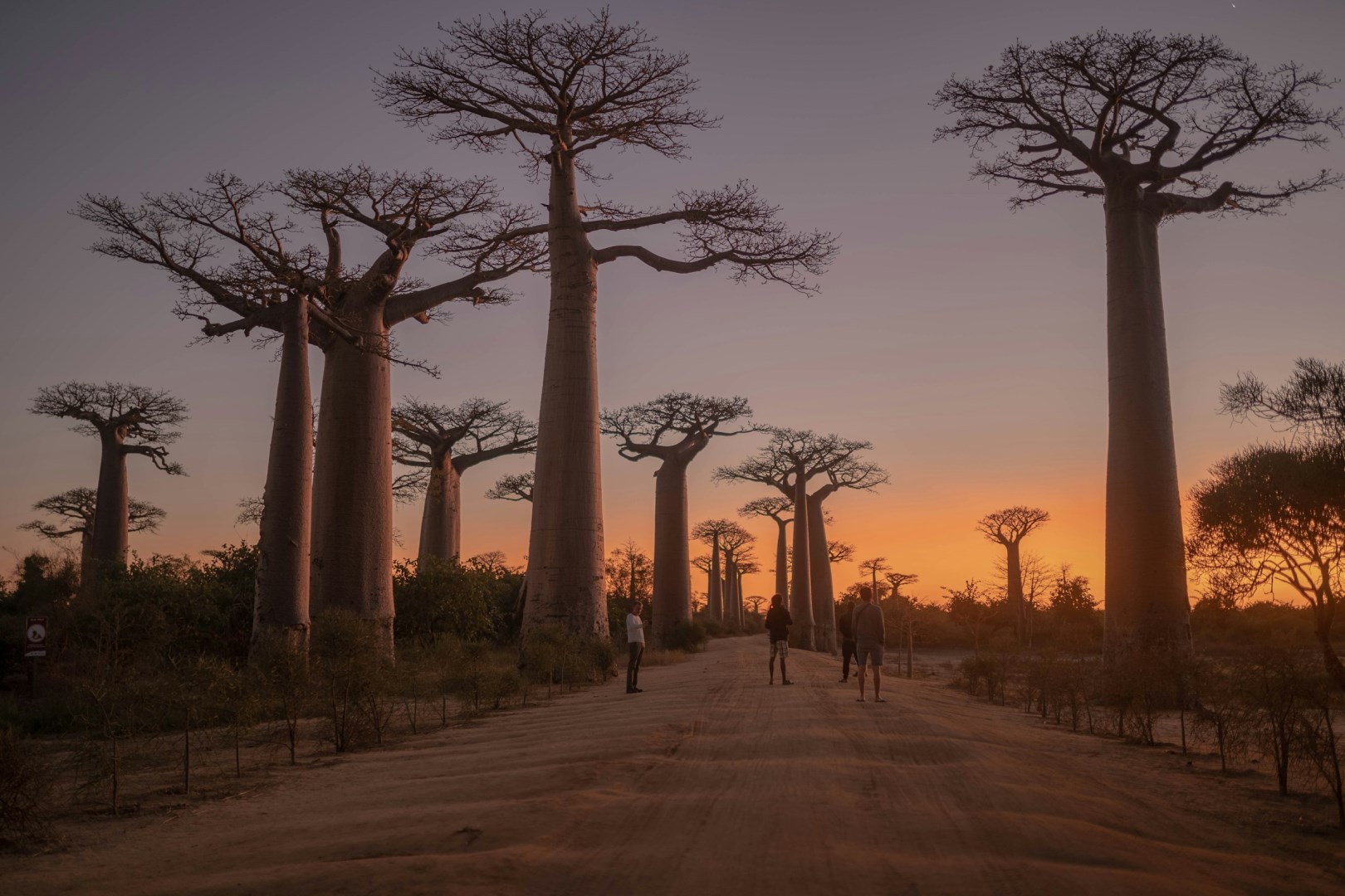
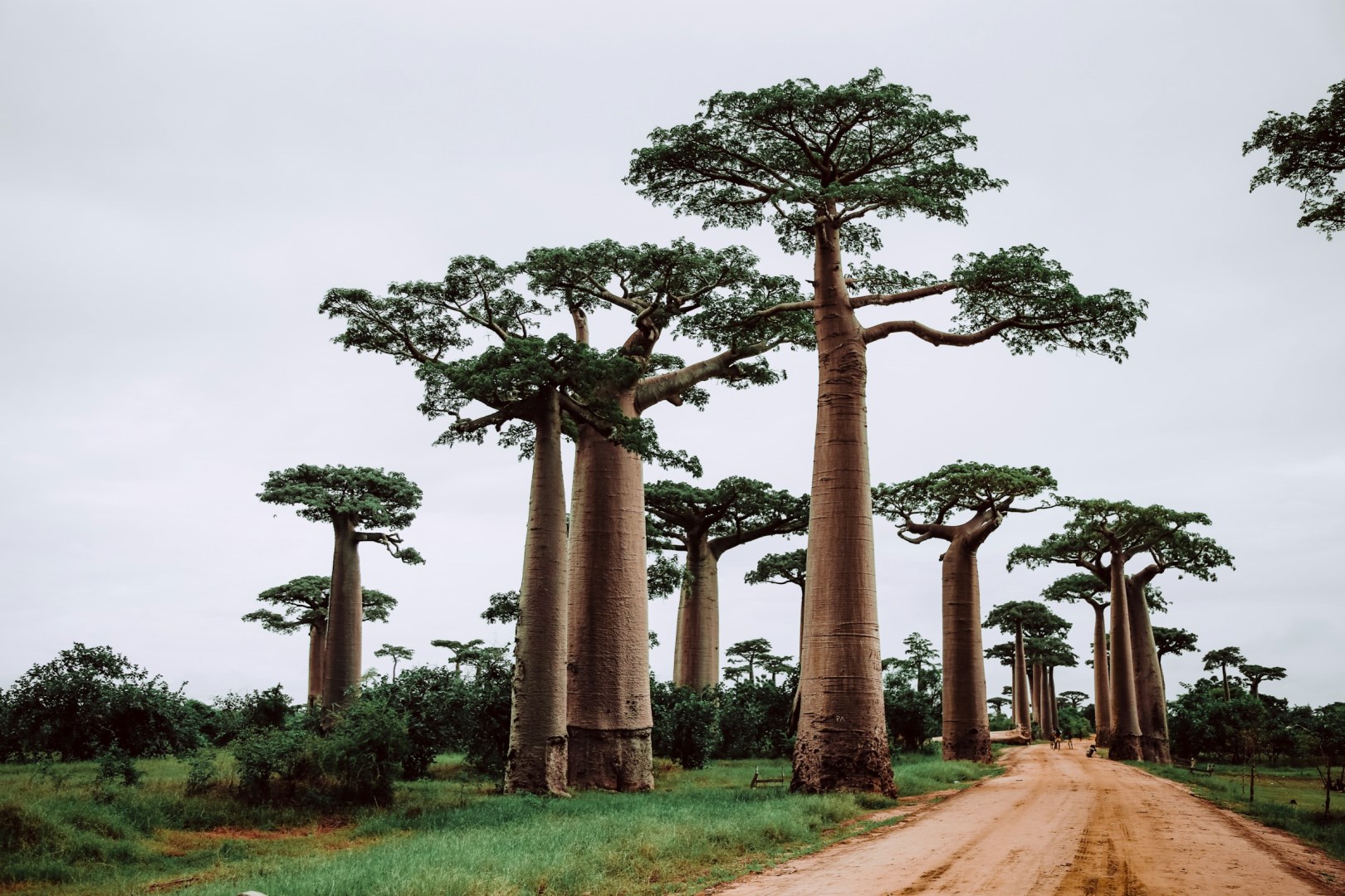
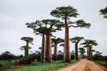
The Avenue of the Baobabs is a famous landscape in western Madagascar, located near Morondava in the Menabe region. A group of tall Grandidier's baobabs lines a dirt road across a broad, dry plain, creating one of the country's most recognizable natural scenes. These trees are endemic to Madagascar and can reach great heights, with thick trunks adapted to storing water during the dry season. The surrounding landscape consists of dry deciduous vegetation, sandy soil, and open fields, reflecting the warm and seasonal climate of western Madagascar. The avenue is also an important local landmark and conservation site.
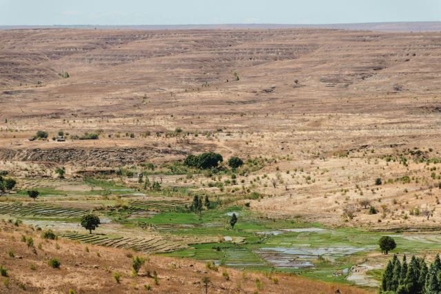
The baobabs are closely connected with the cultural landscape of the Menabe region, where the Sakalava people have longstanding traditions of farming, livestock keeping, and fishing. Local communities live and work around the trees, and the surrounding land includes rice fields, grazing areas, and villages. Baobabs themselves have practical uses in Malagasy communities, with different parts of the trees traditionally used for food, fiber, medicine, and other purposes. The Avenue of the Baobabs is therefore more than a scenic road; it forms part of a working rural landscape where distinctive native trees stand alongside everyday agricultural activities.
The avenue contains several species of baobab in the wider region, but the trees lining the road are primarily Grandidier's baobabs, recognized by their tall, smooth trunks and relatively small crowns. Nearby Kirindy Forest protects dry deciduous woodland and provides habitat for lemurs, birds, reptiles, and the fossa, Madagascar's largest native carnivore. The surrounding Menabe landscape also contains other notable baobab areas, including the Baobab Amoureux, where two trees have grown around each other. The road through the avenue is particularly well known for the changing appearance of the trees in morning and late-afternoon light.
The Avenue of the Baobabs is part of a region where agriculture and natural habitats exist side by side. Rice cultivation is important around nearby communities, while zebu cattle are widely kept and play an important role in local livelihoods and traditions. The baobab's ability to store large quantities of water in its trunk is one of its most remarkable biological features, allowing it to survive long dry periods. Conservation organizations work with local communities to protect the trees and surrounding habitat. The avenue's combination of rare endemic trees, dry western ecosystems, and a living agricultural landscape makes it an important symbol of Madagascar.